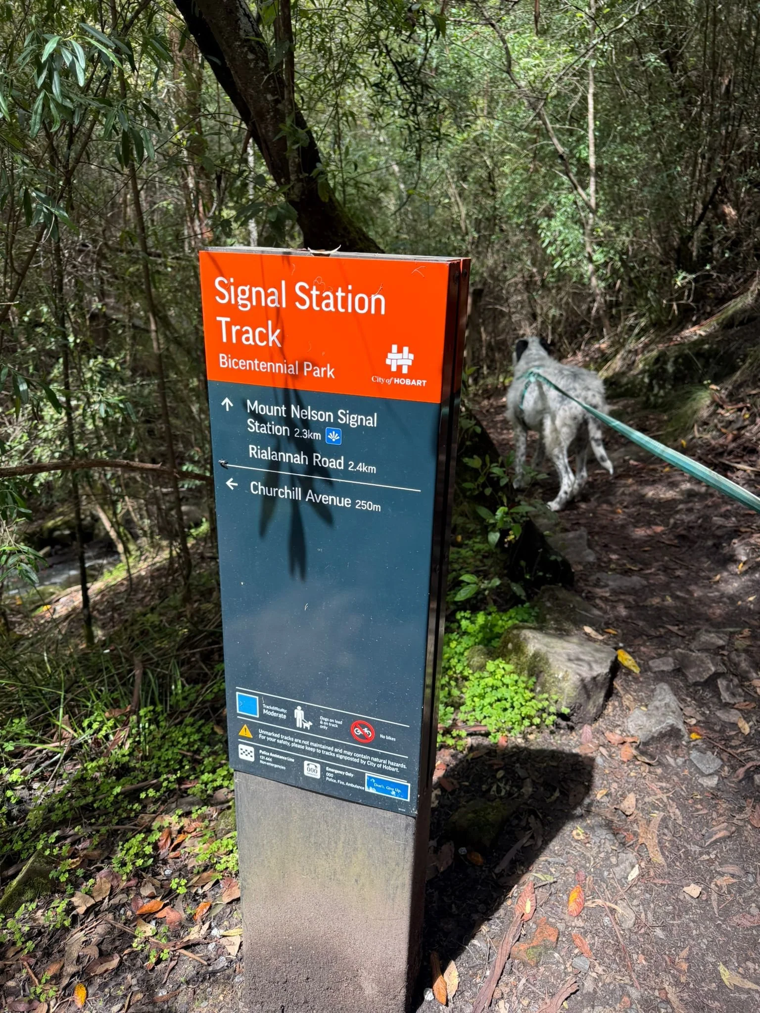
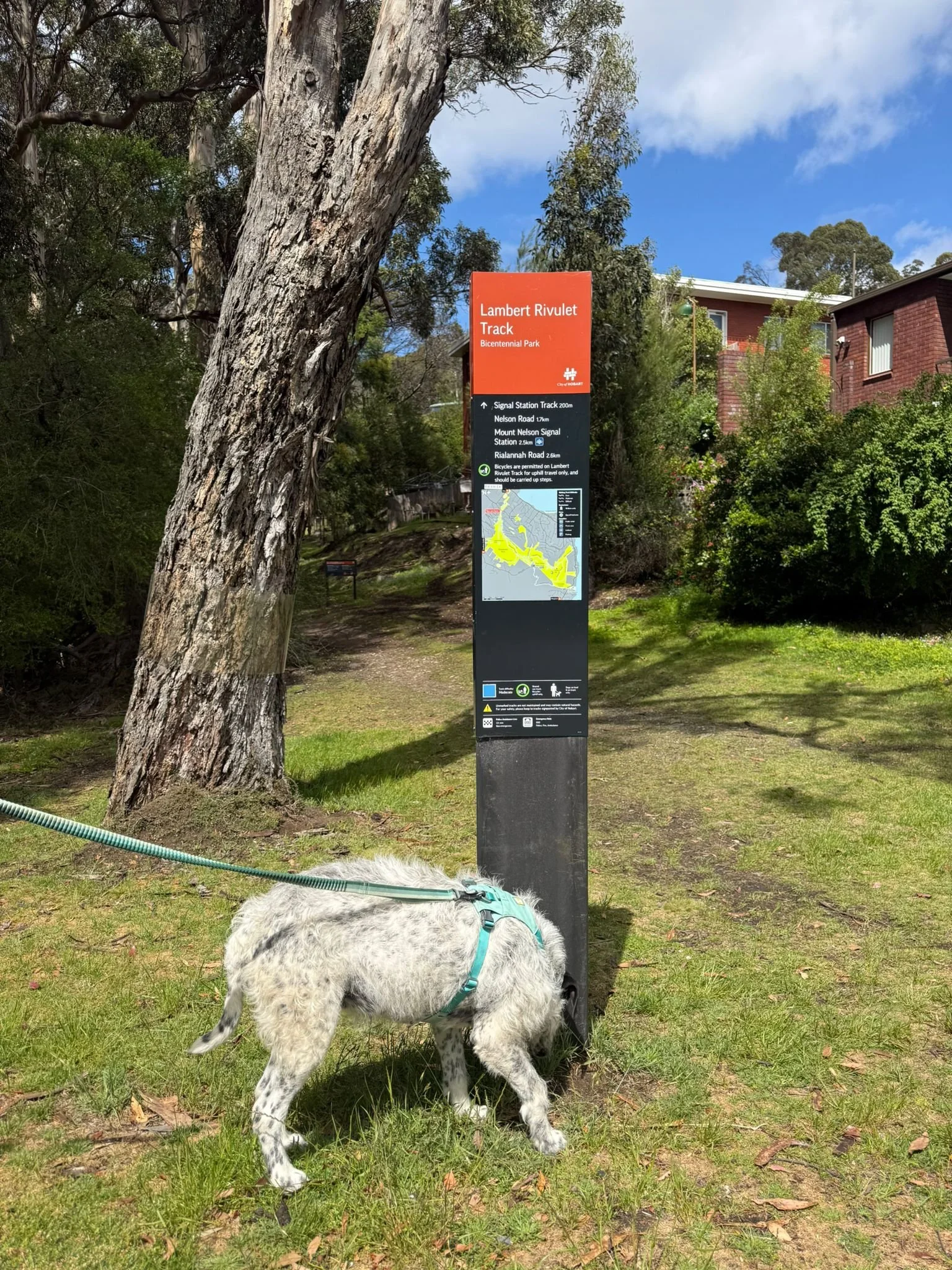
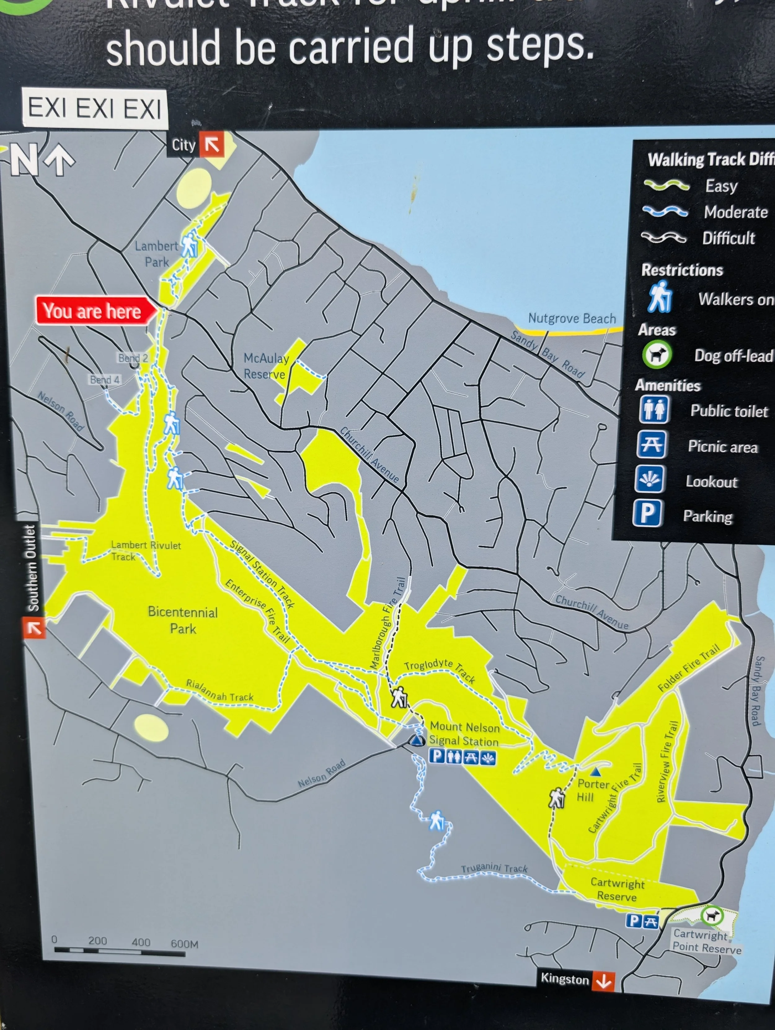
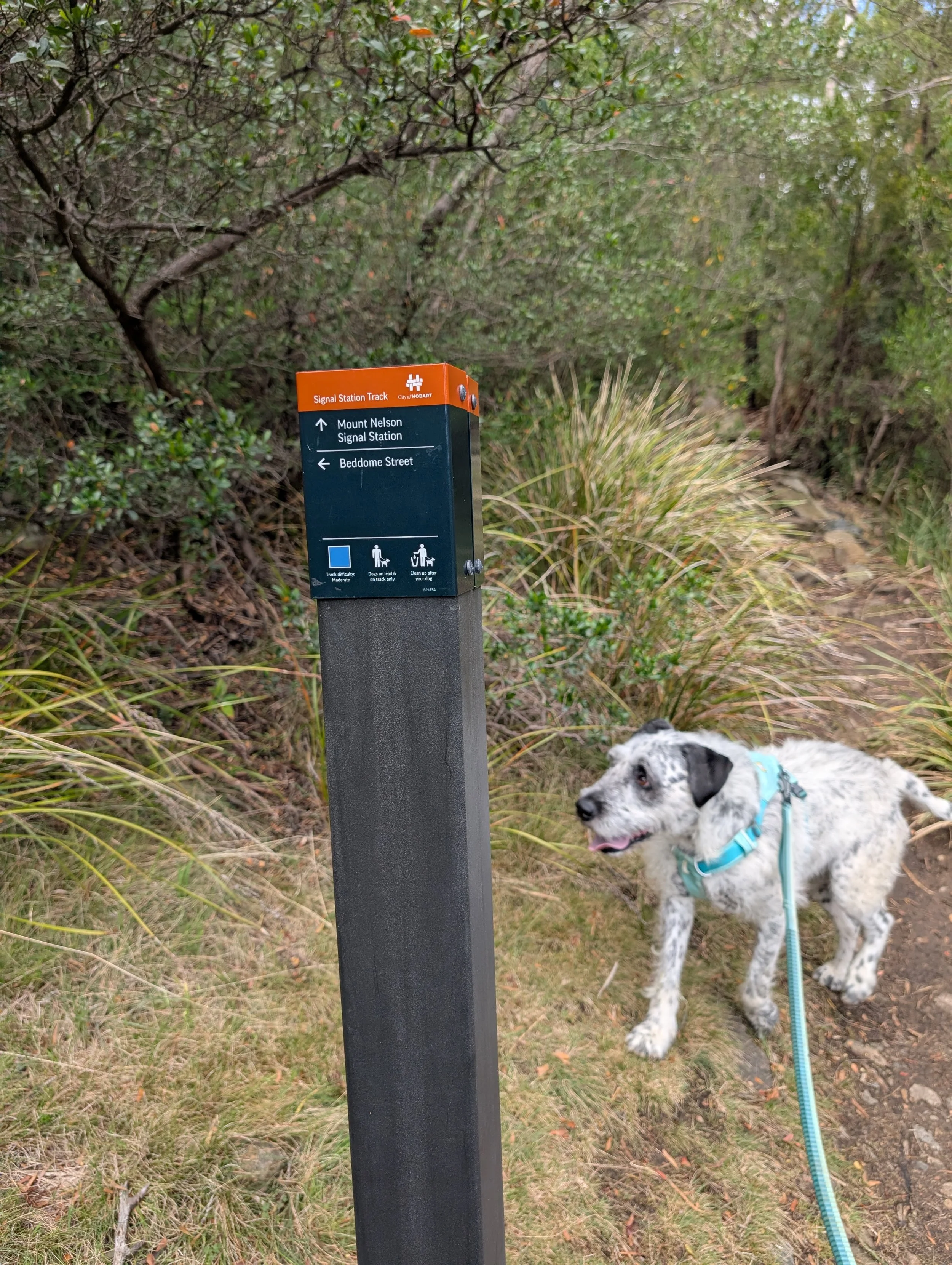
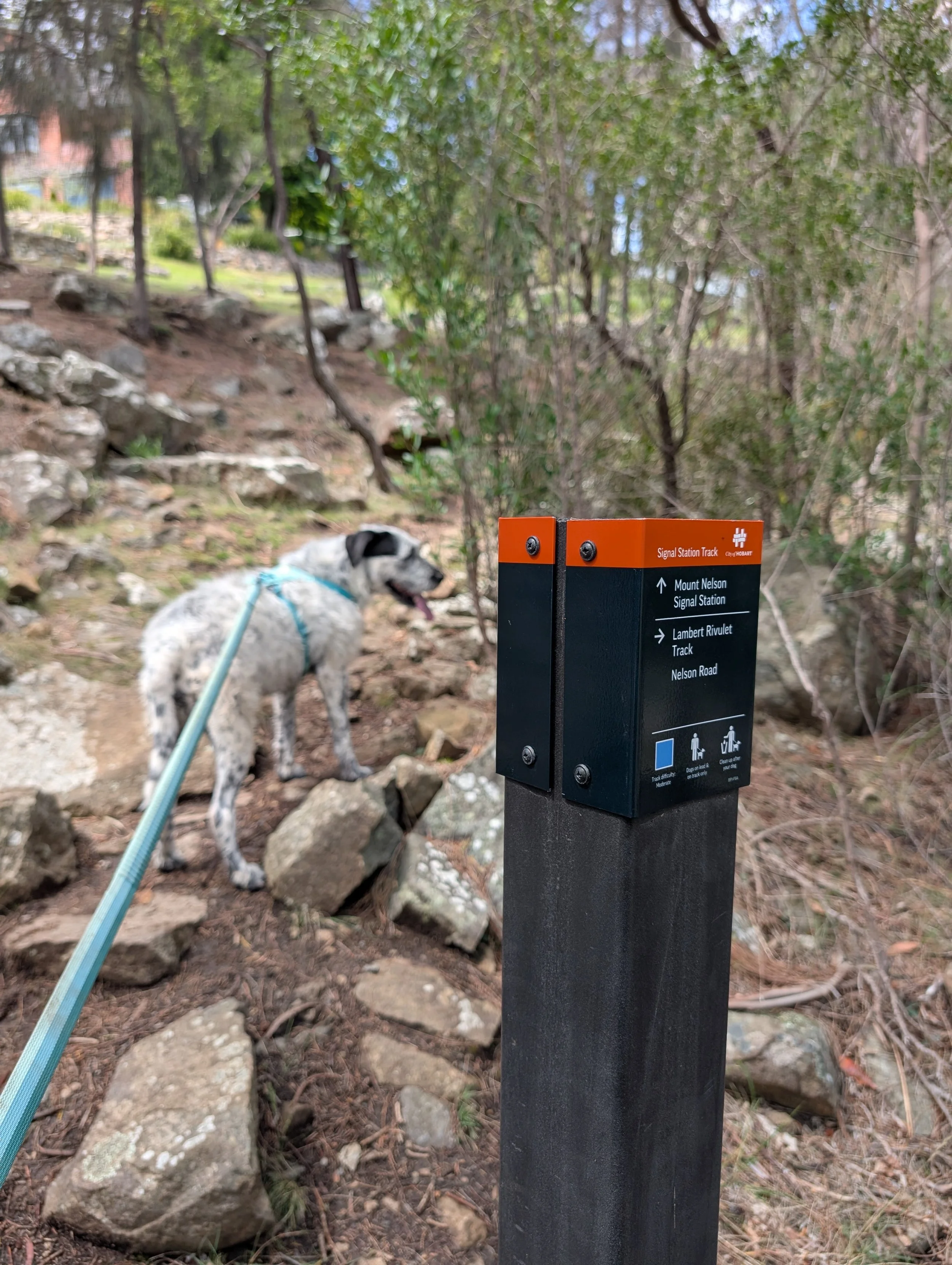
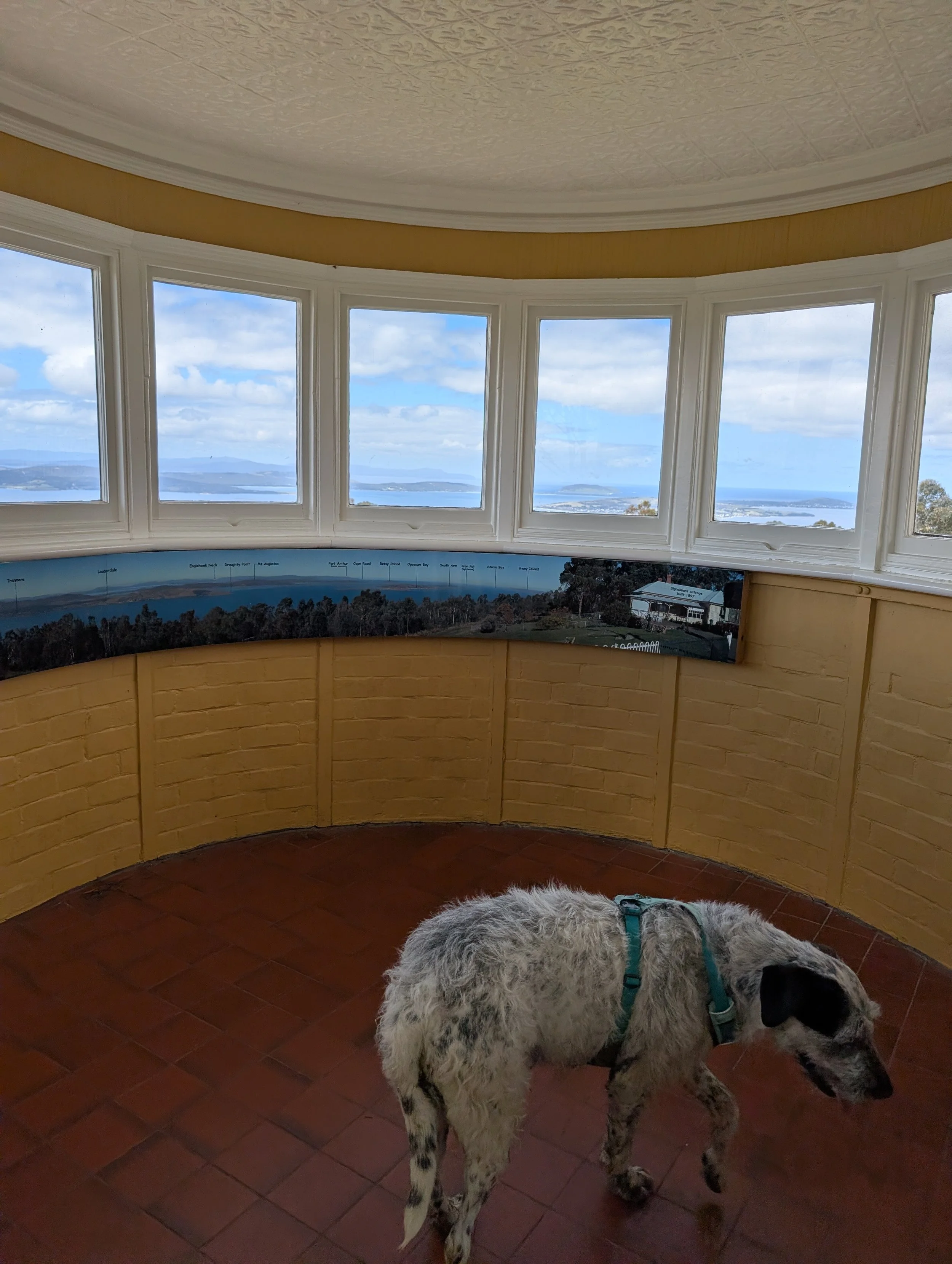
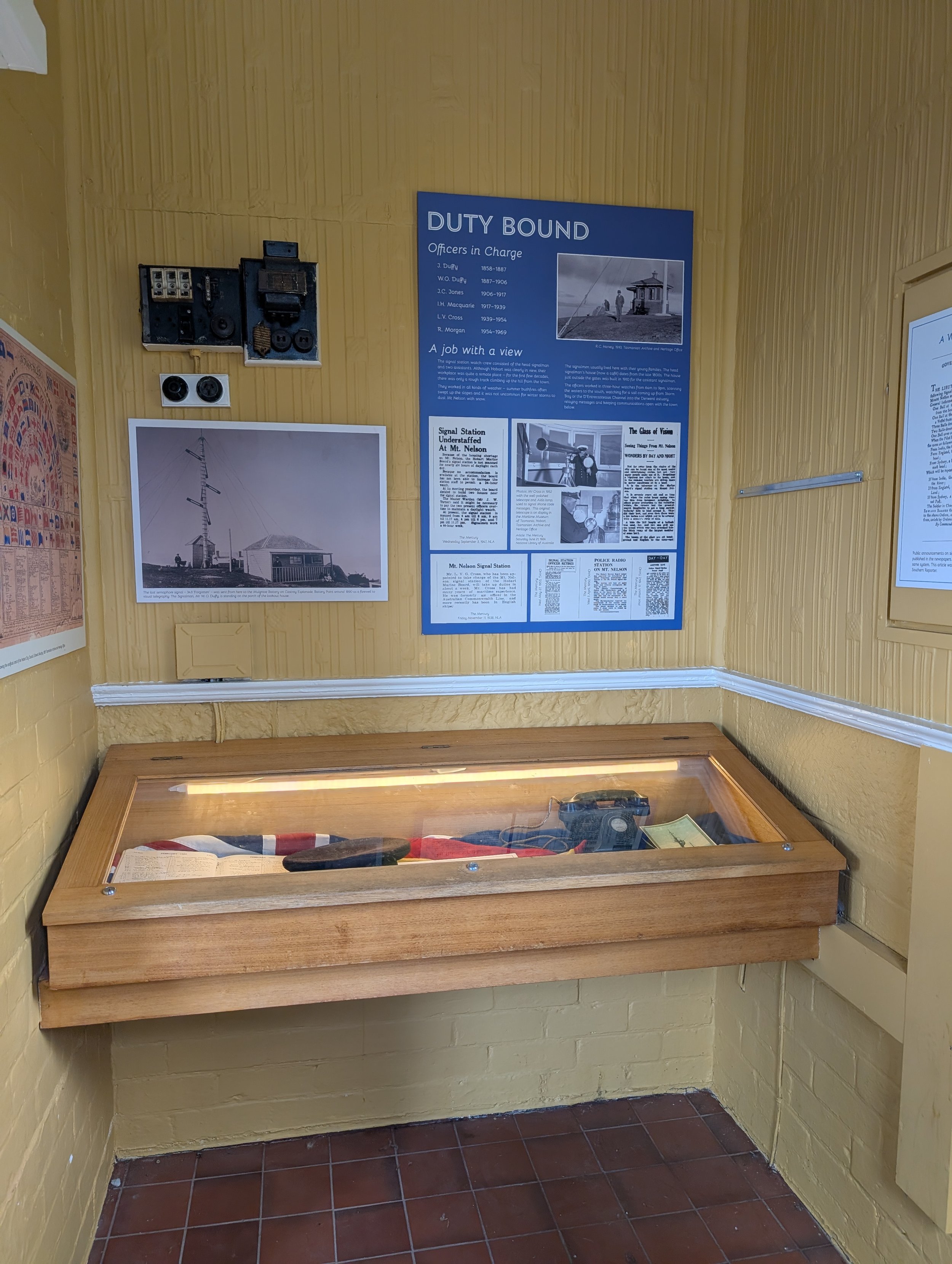
Mount Nelson Signal Station Track
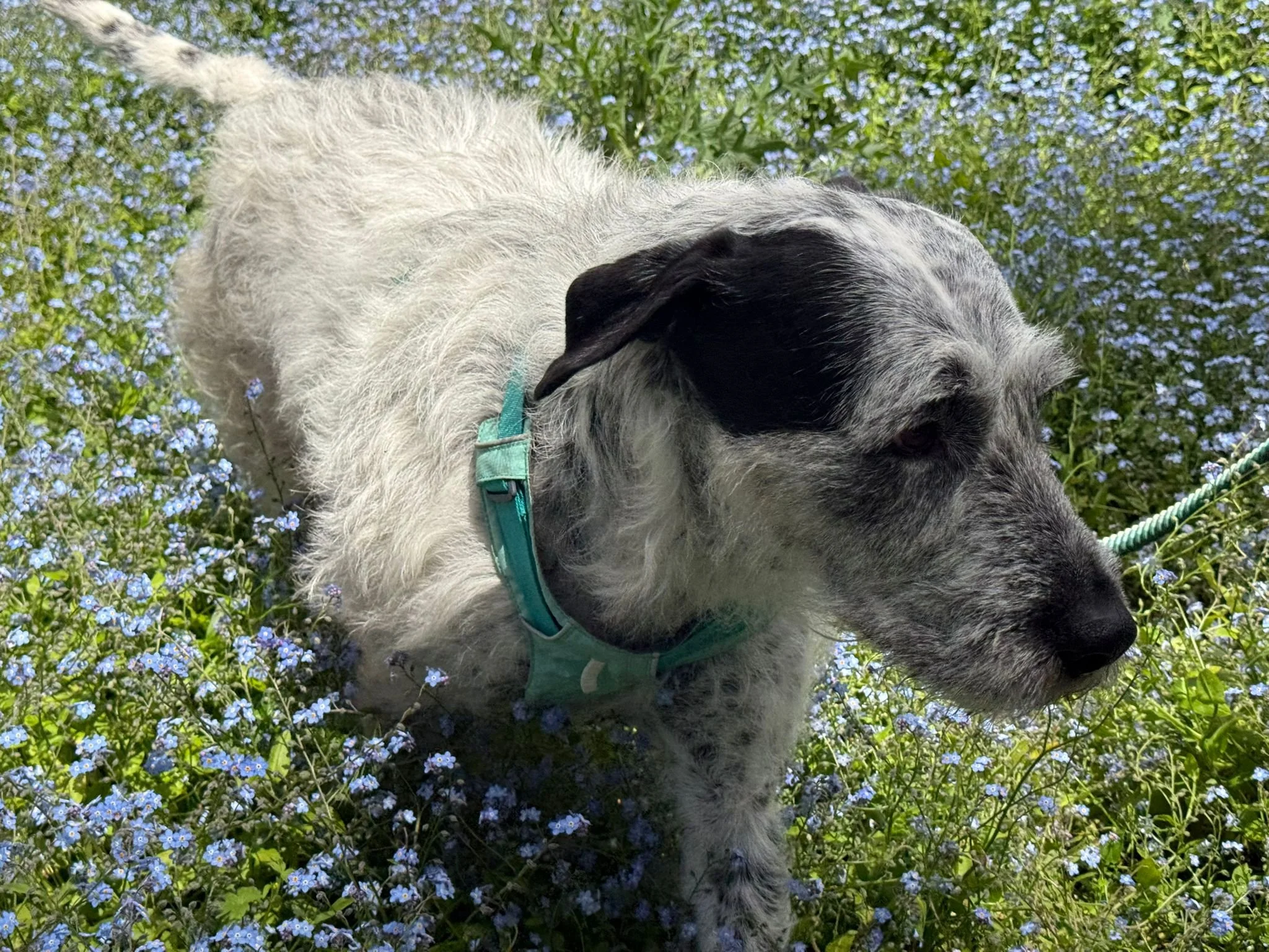
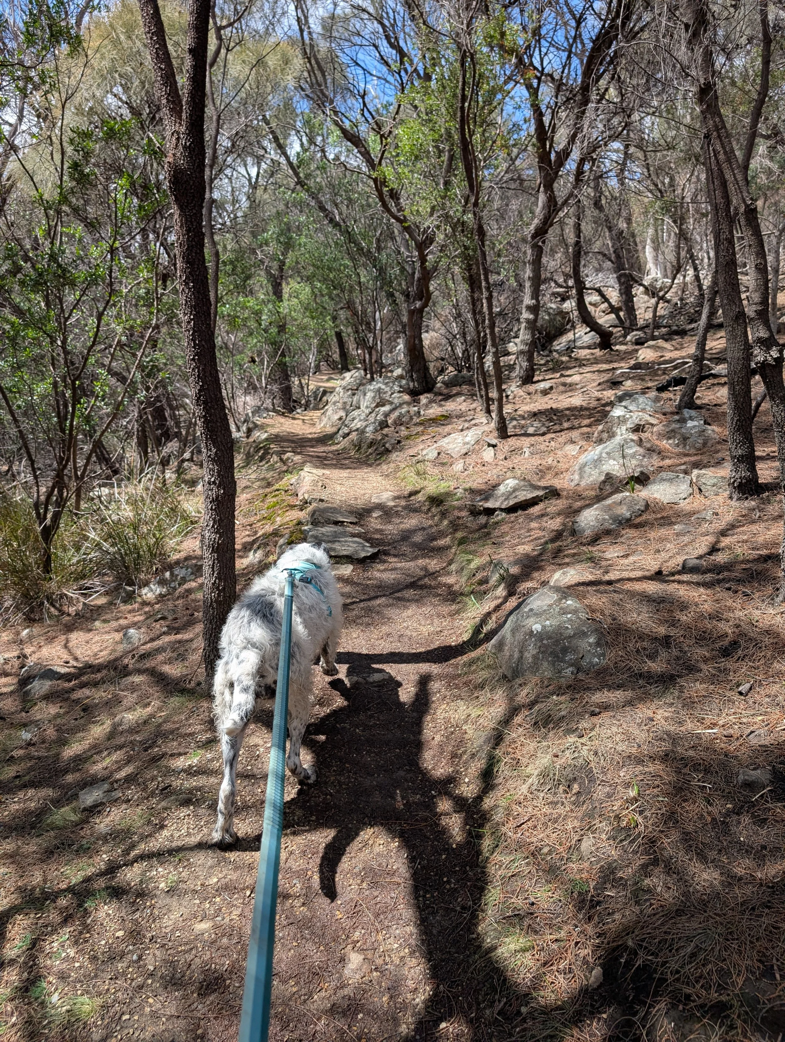
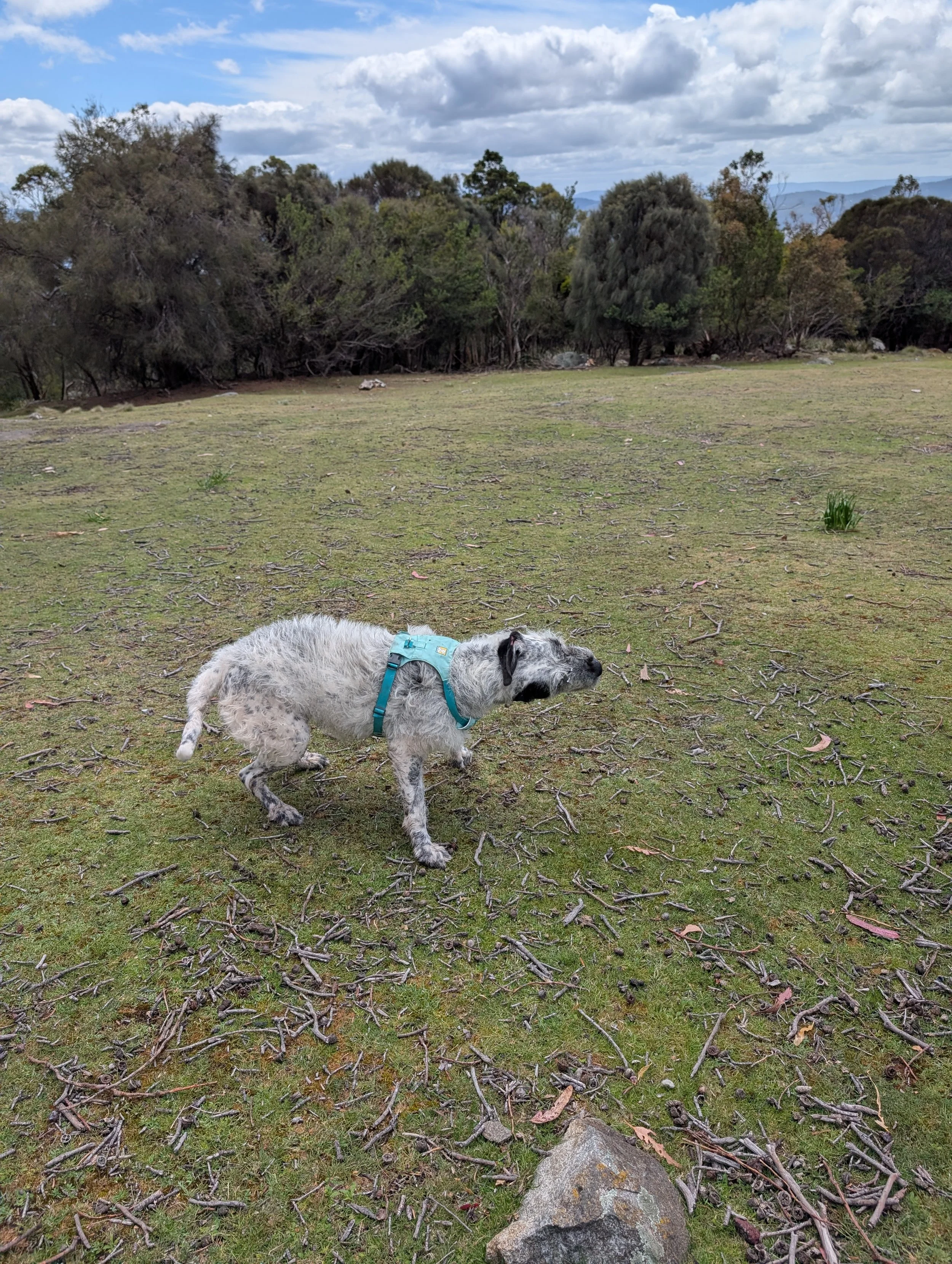
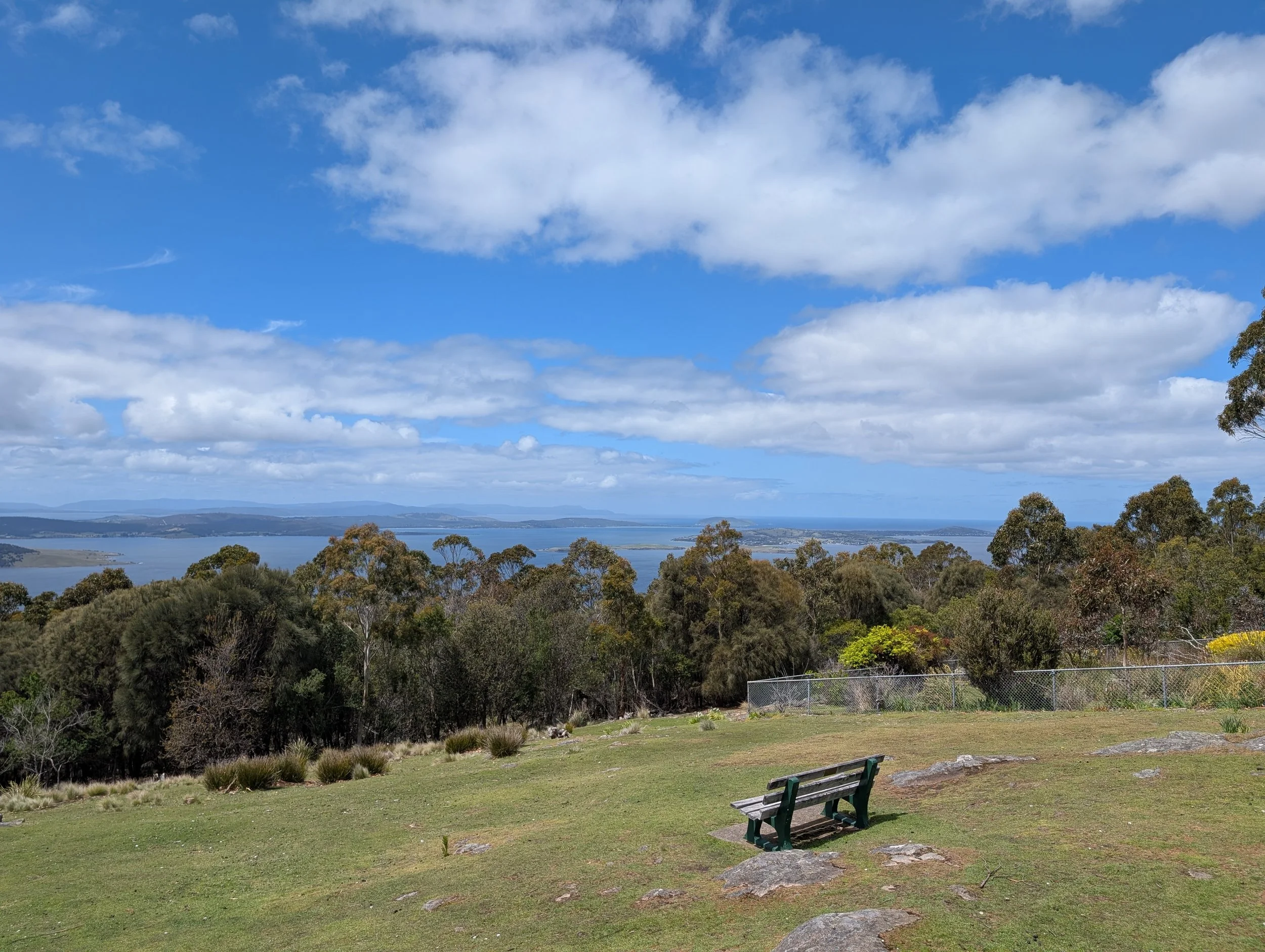
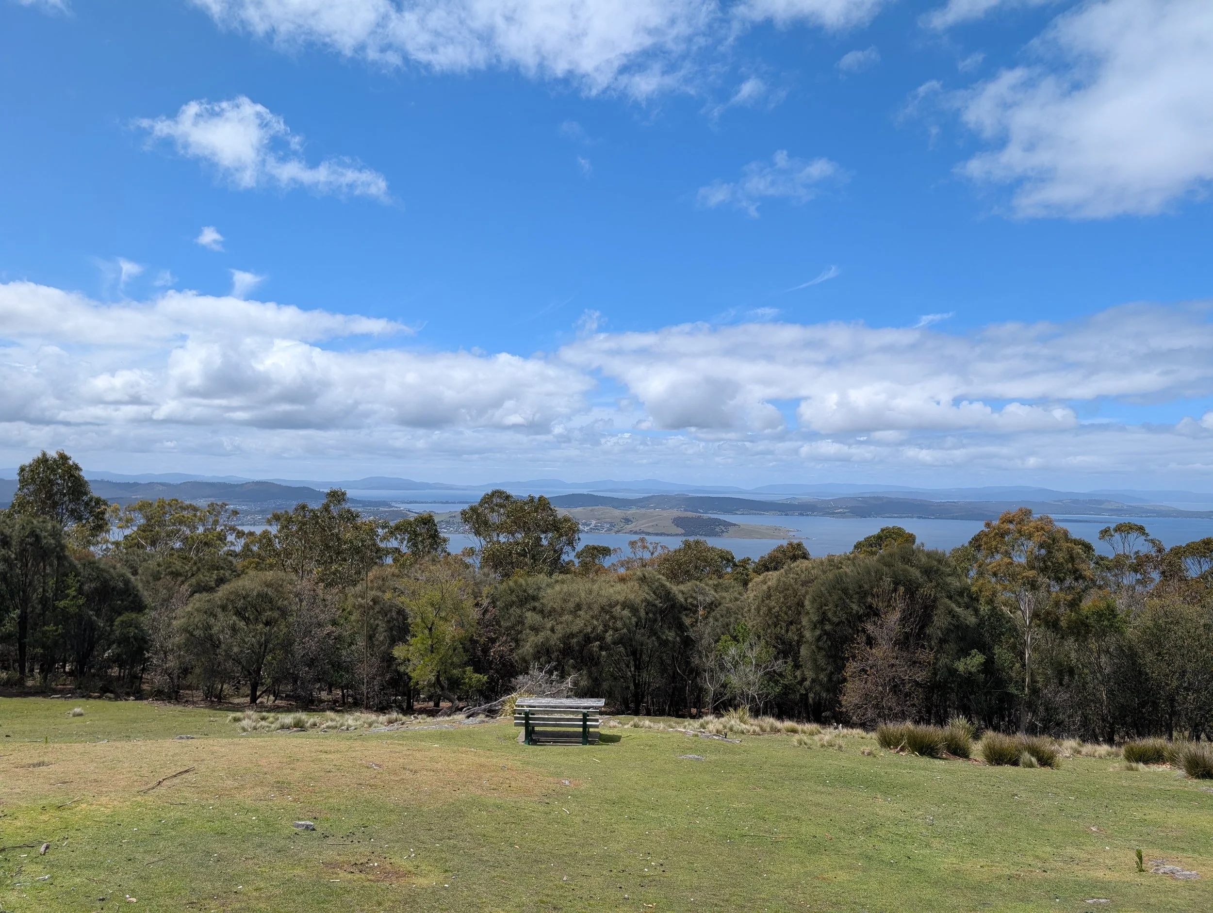
A great hike that’s got a challenging uphill in one direction that’s great to get the blood flowing, lovely views at the top, and is relatively quiet on the busiest of days. It’s a 4.6km return hike up to Mount Nelson Signal Station and back. Dogs need to be on lead on this track.
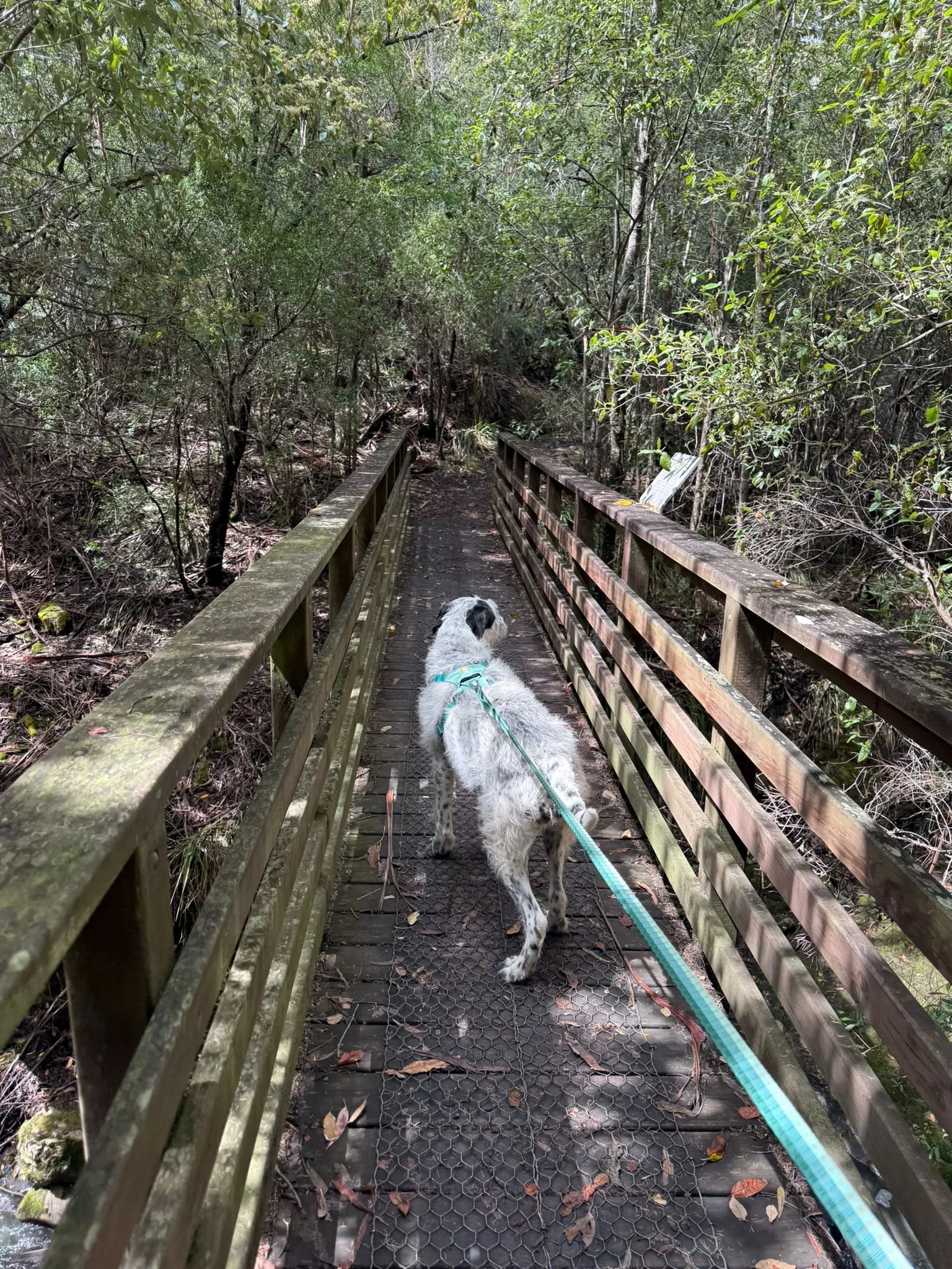
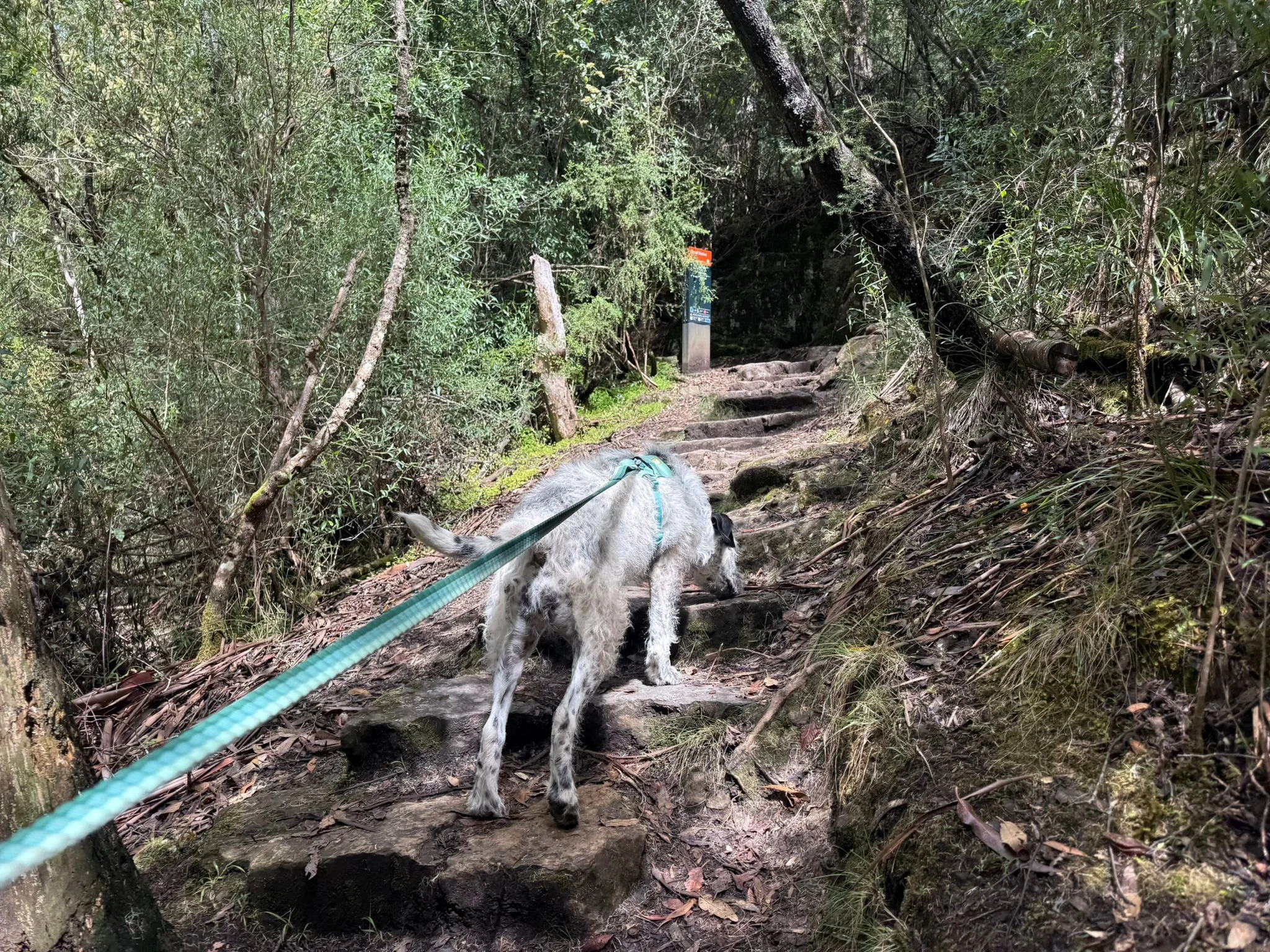
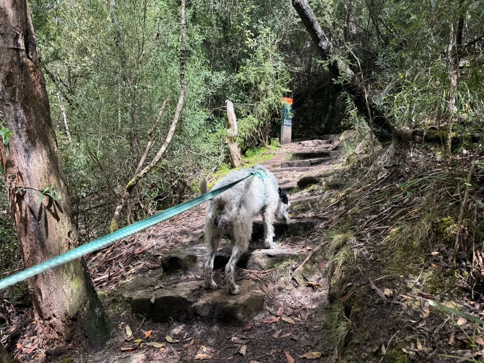
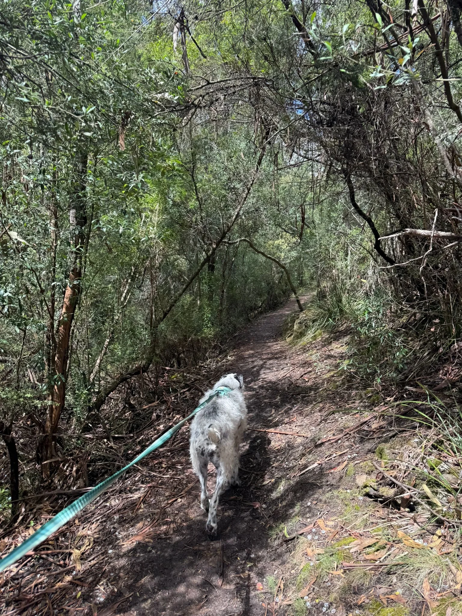
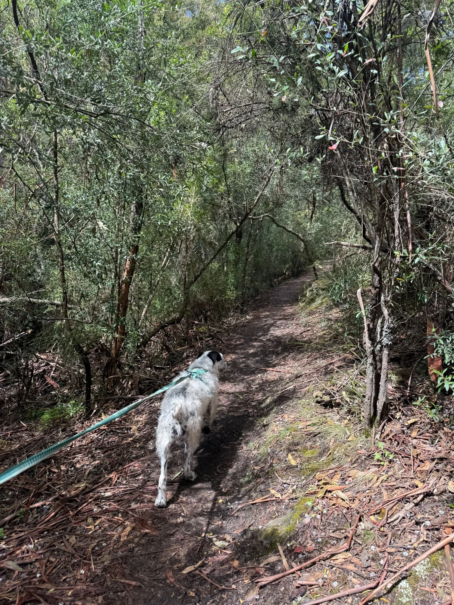
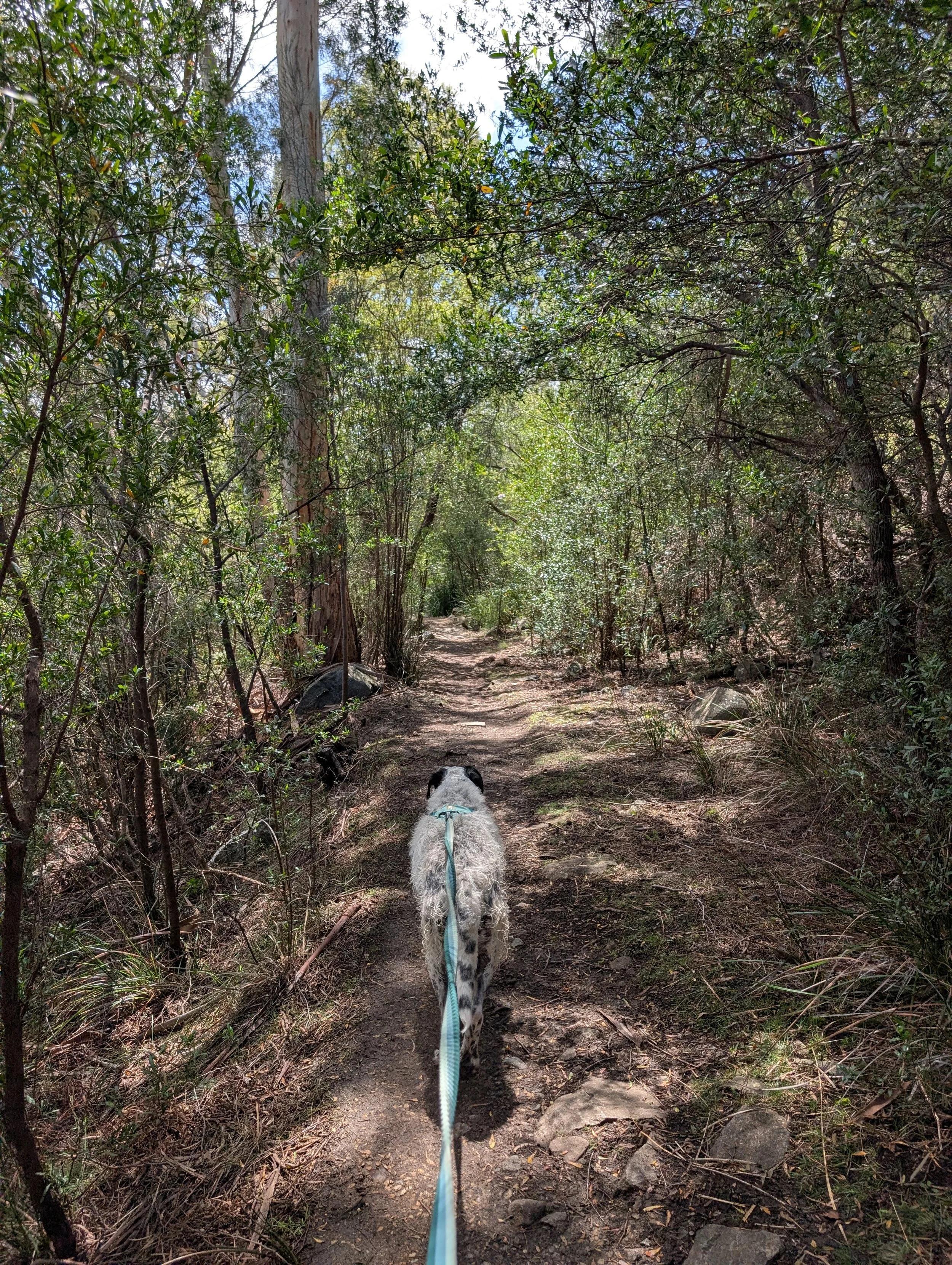
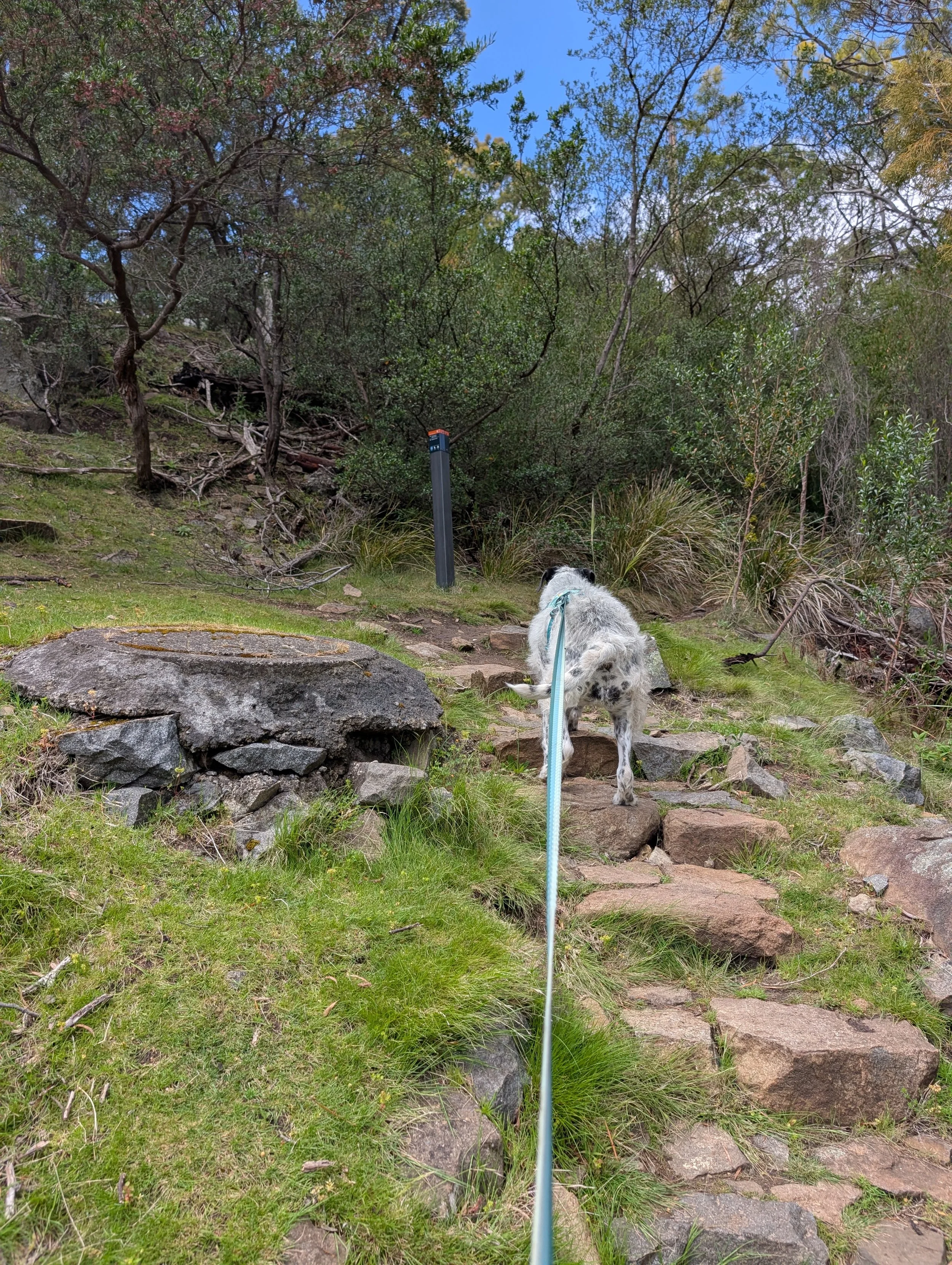
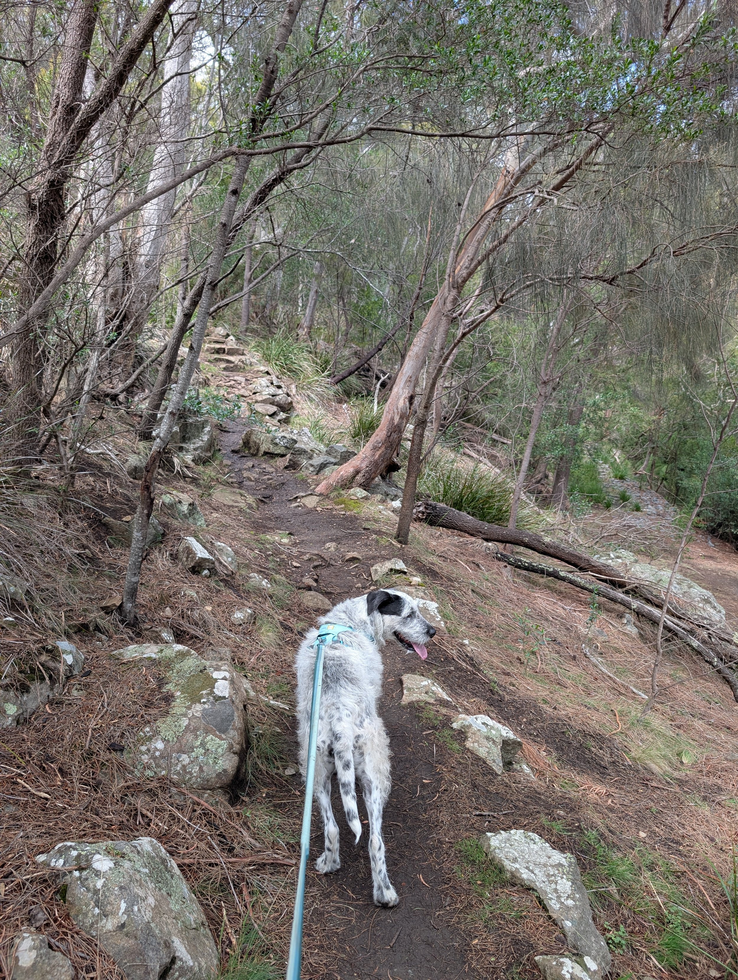
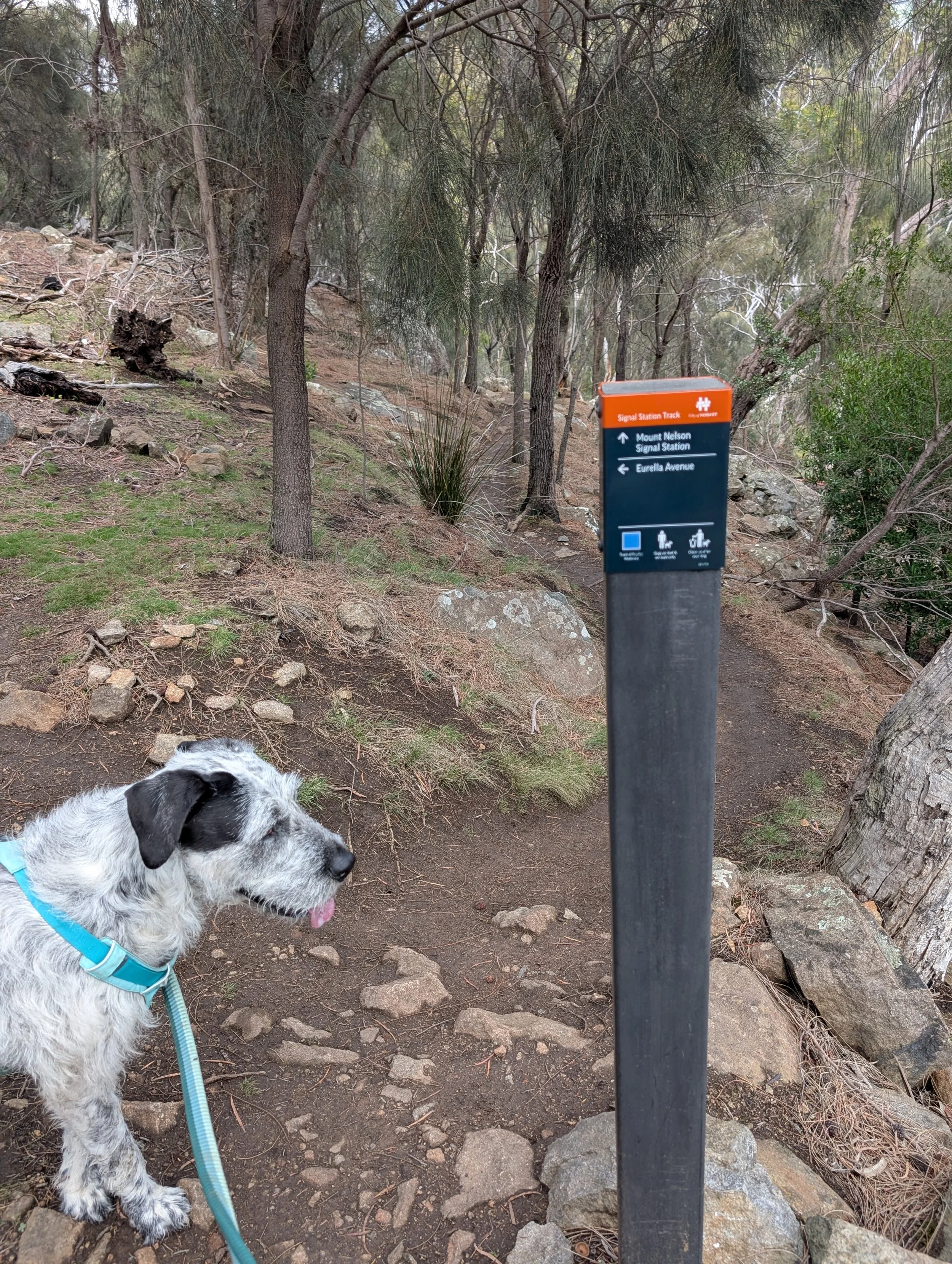
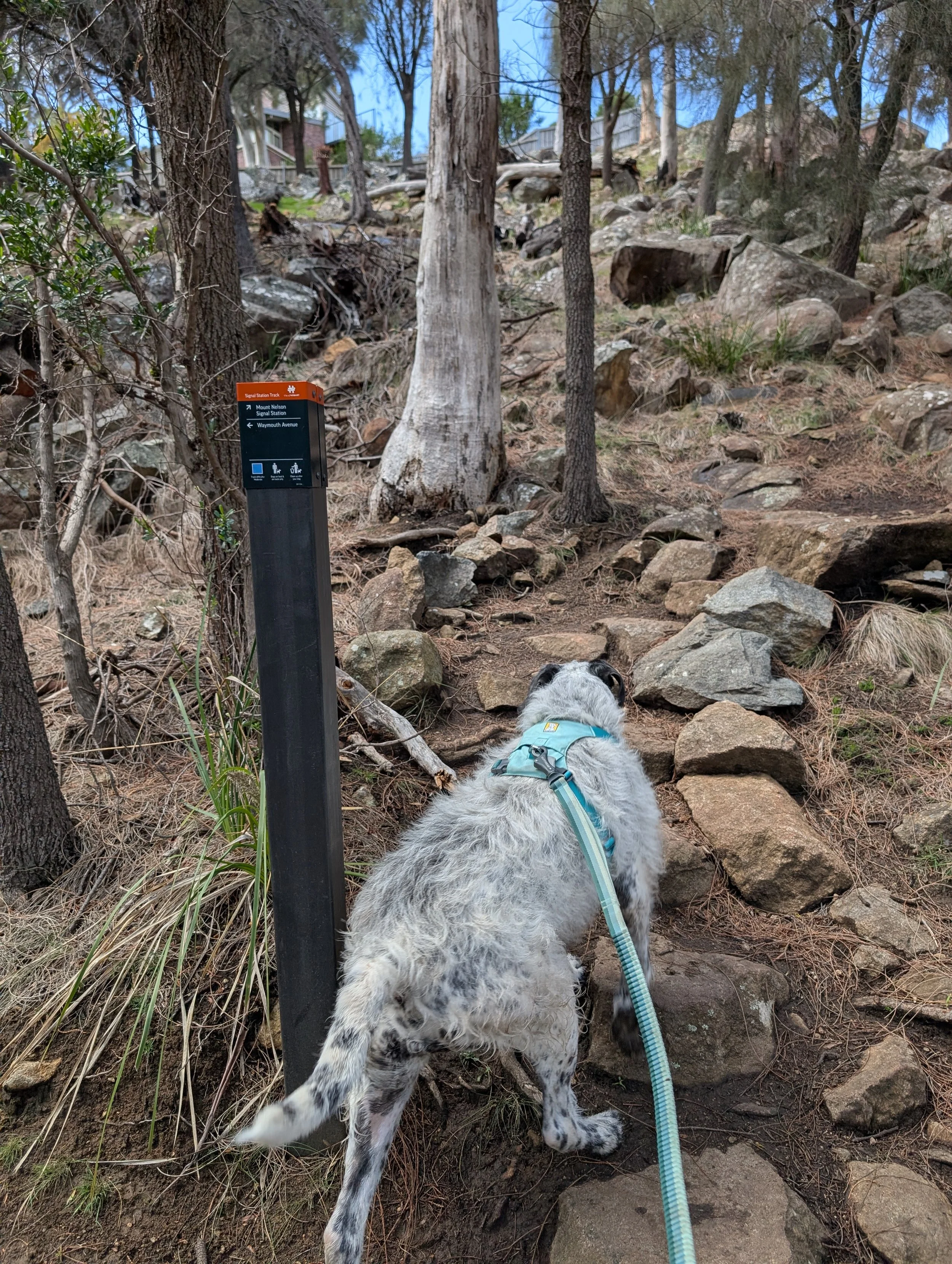
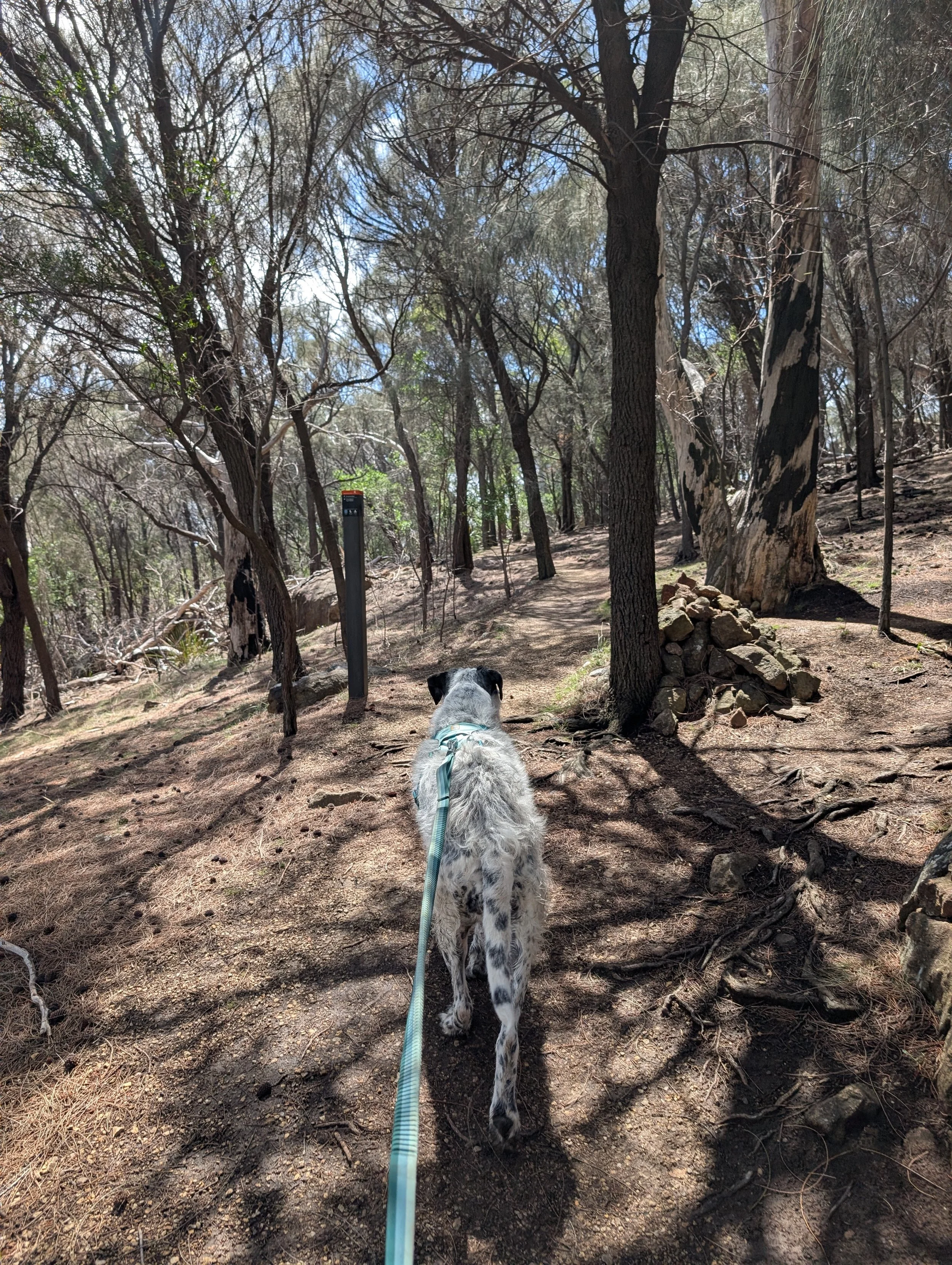
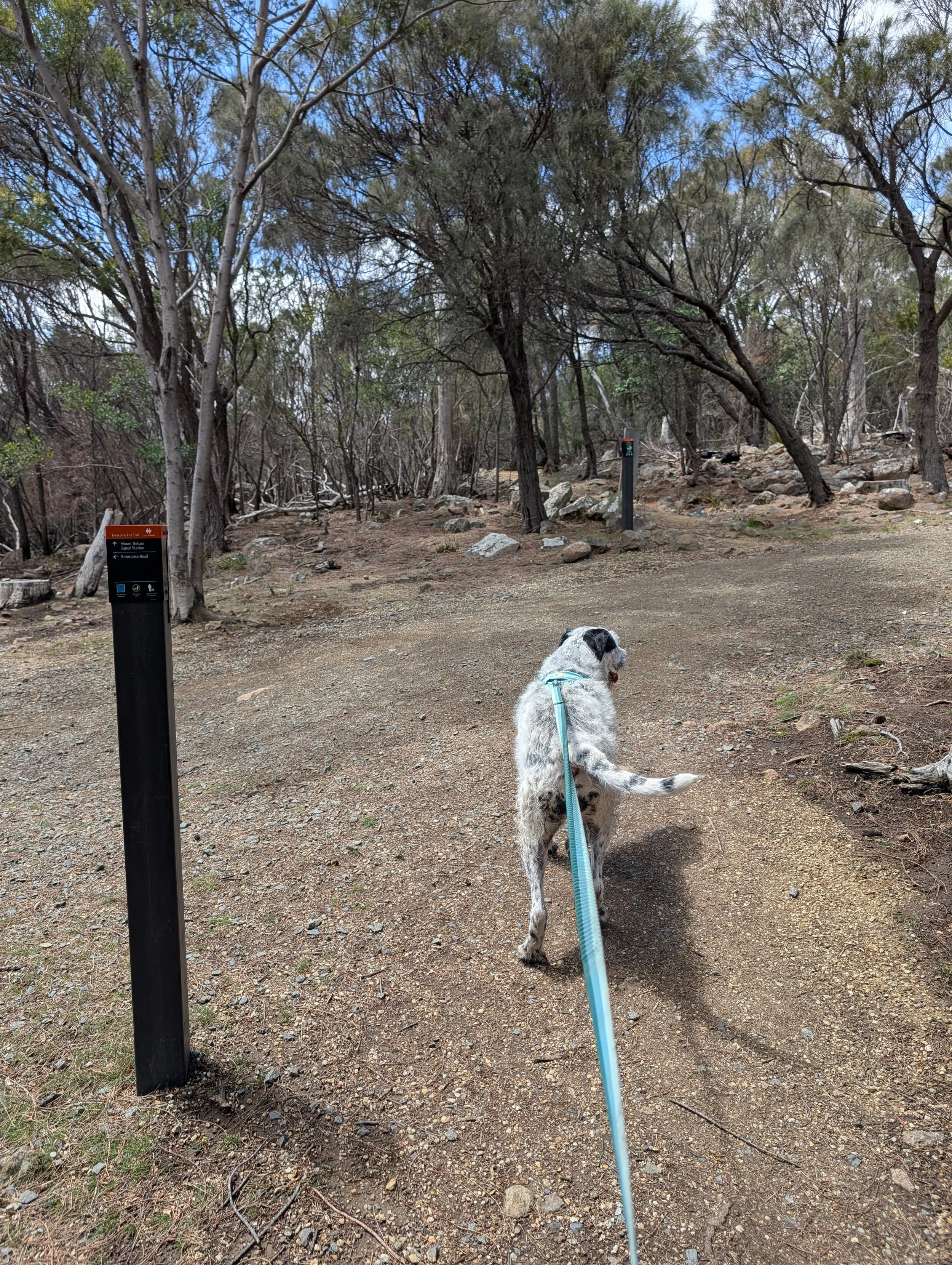
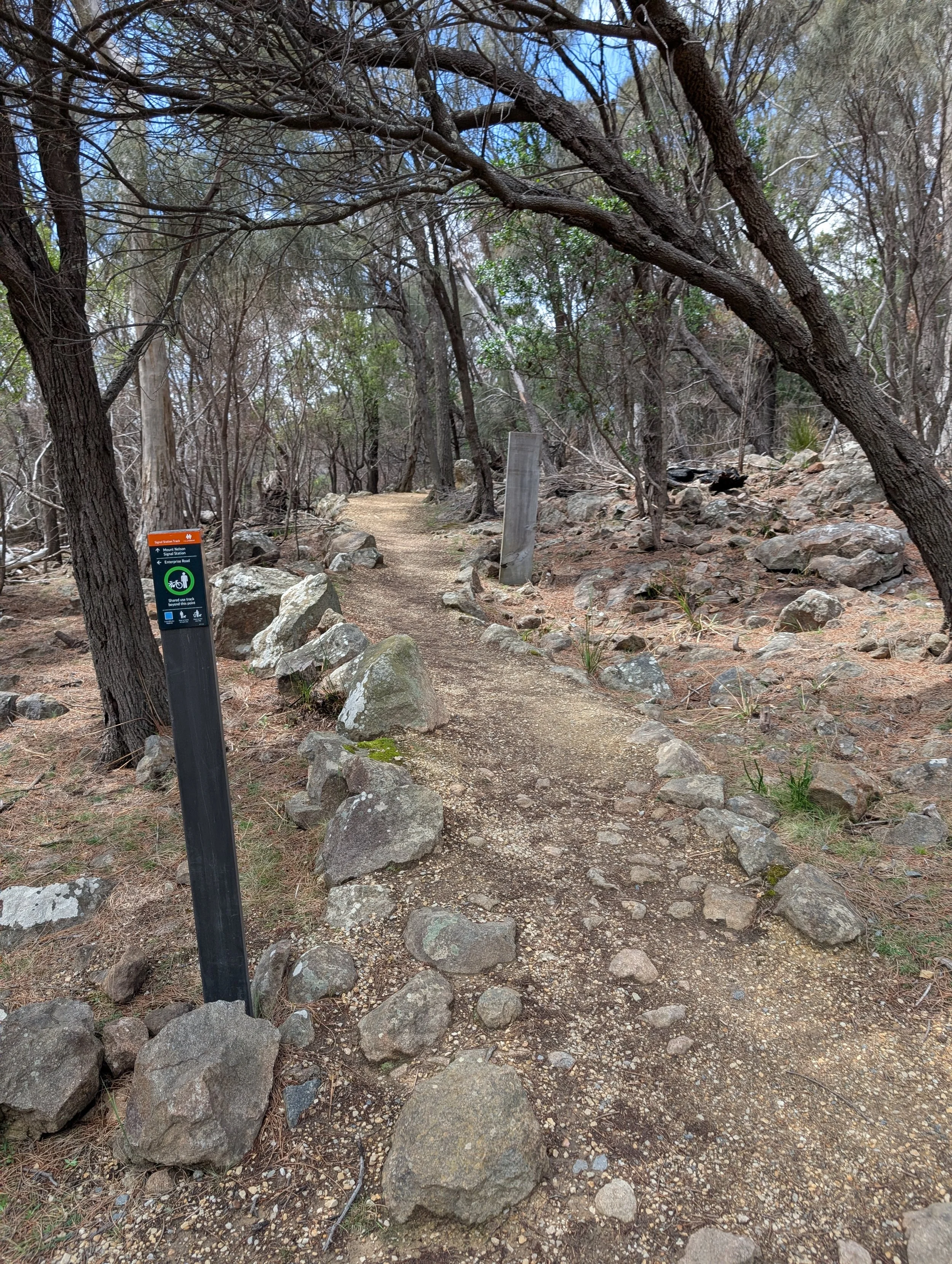
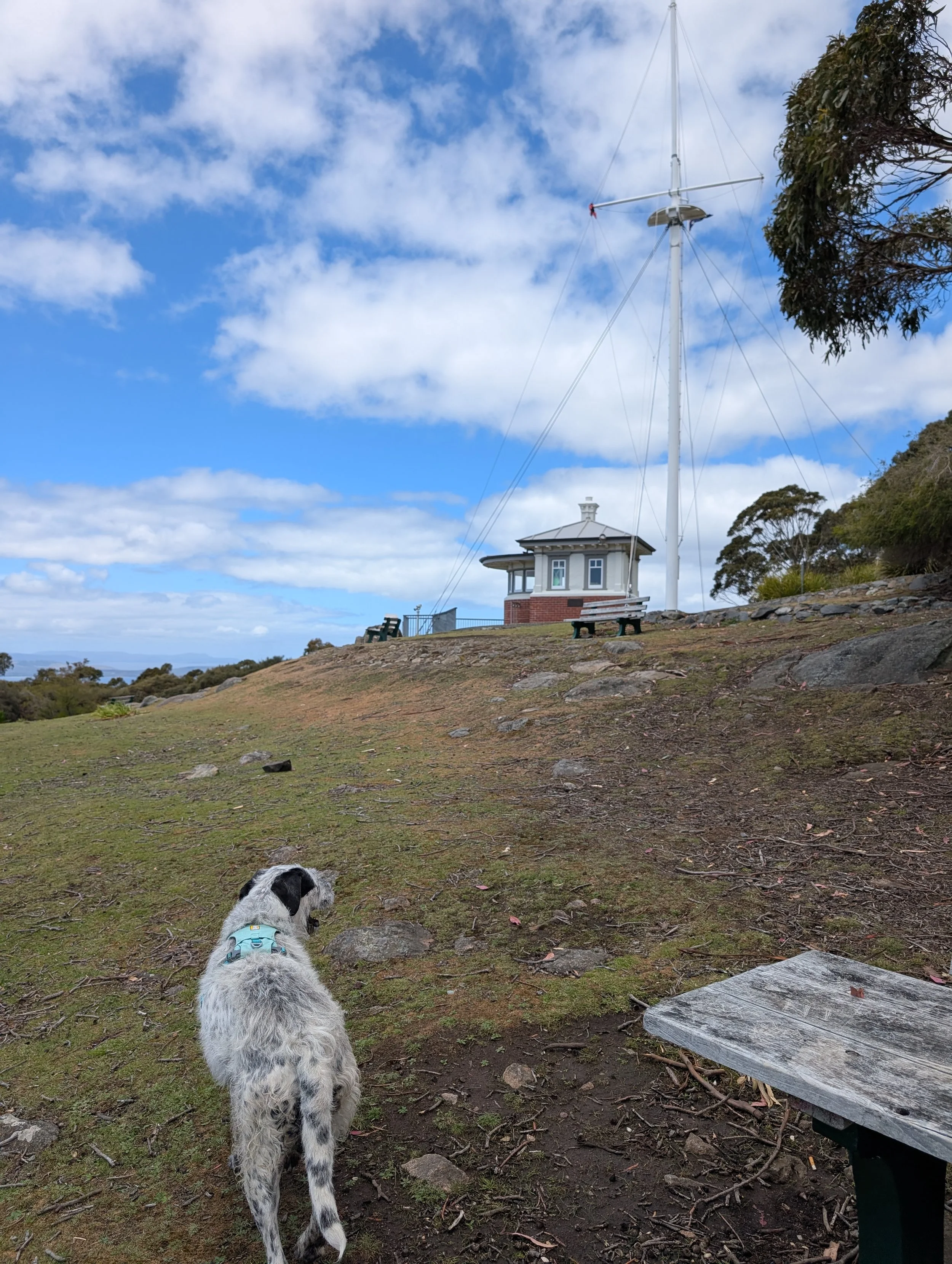
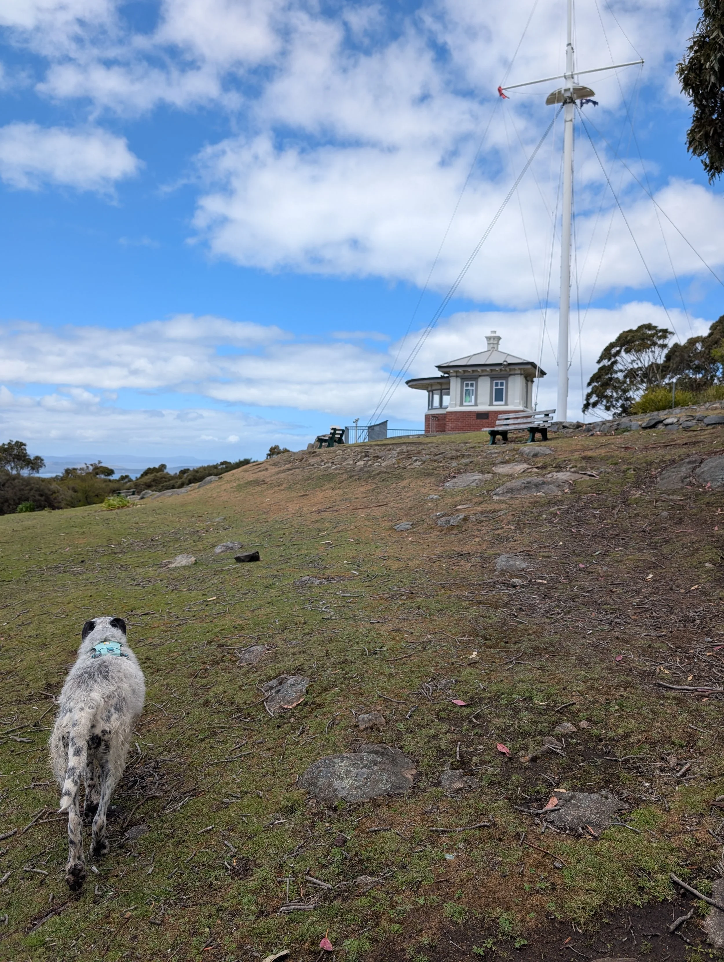
This trail is well marked with signage, particularly anywhere you might veer off course. There’s some stone steps when it get steep, a wooden bridge, some duckboard, and firm dirt paths with stones for grip. Unfortunately you can’t get scones at the top as you used to be able to do, but there was some rain water for Maggie to drink in a bucket outside the old restaurant. The great thing about this walk is it’s sheltered, and not too sun exposed.
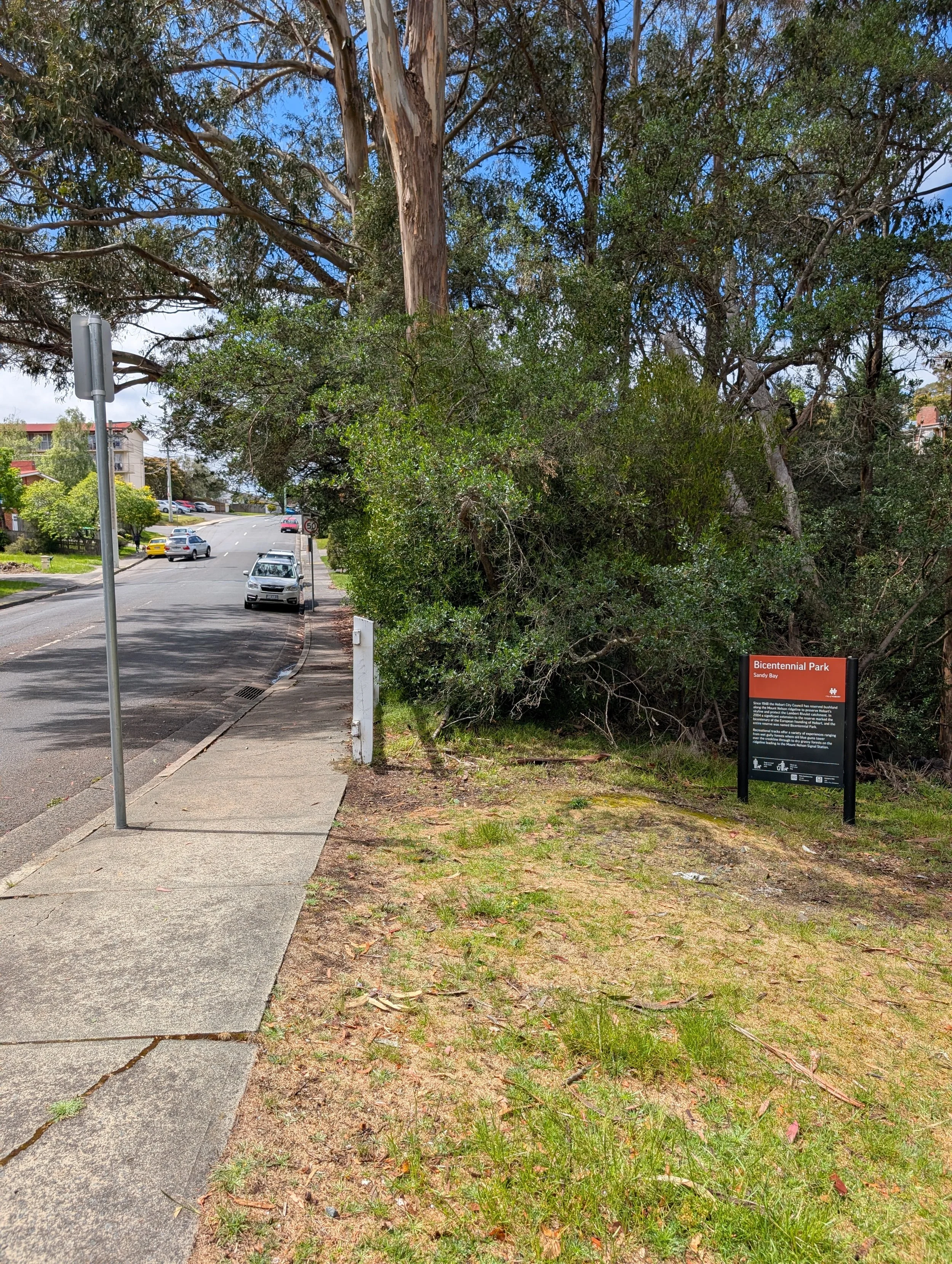
We parked on Churchill Avenue, which is free and safe parking, outside Bicentnnial Park. The track is on both sides of the road, remember that you want to go up! You just walk up until you get to Mount Nelson Signal Station and enjoy the views, before heading back down. It took us an hour and 40 minutes but we did stop and talk to some lovely people, and we took our time to enjoy the views at the top! Coming back down took 40 minutes, to put it into perspective.
Distance: 4.6km (out and back)
Elevation: ?
Time: 1 hour 40 minutes
Date hiked: 8 November 2025
Traditional Custodians: Muwinina People